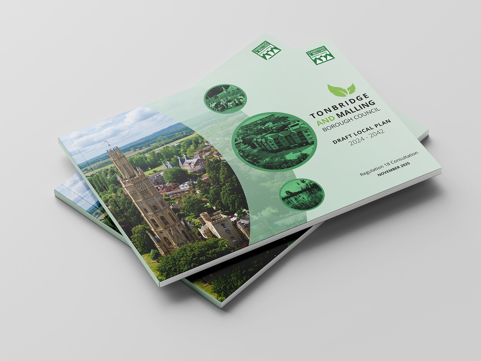
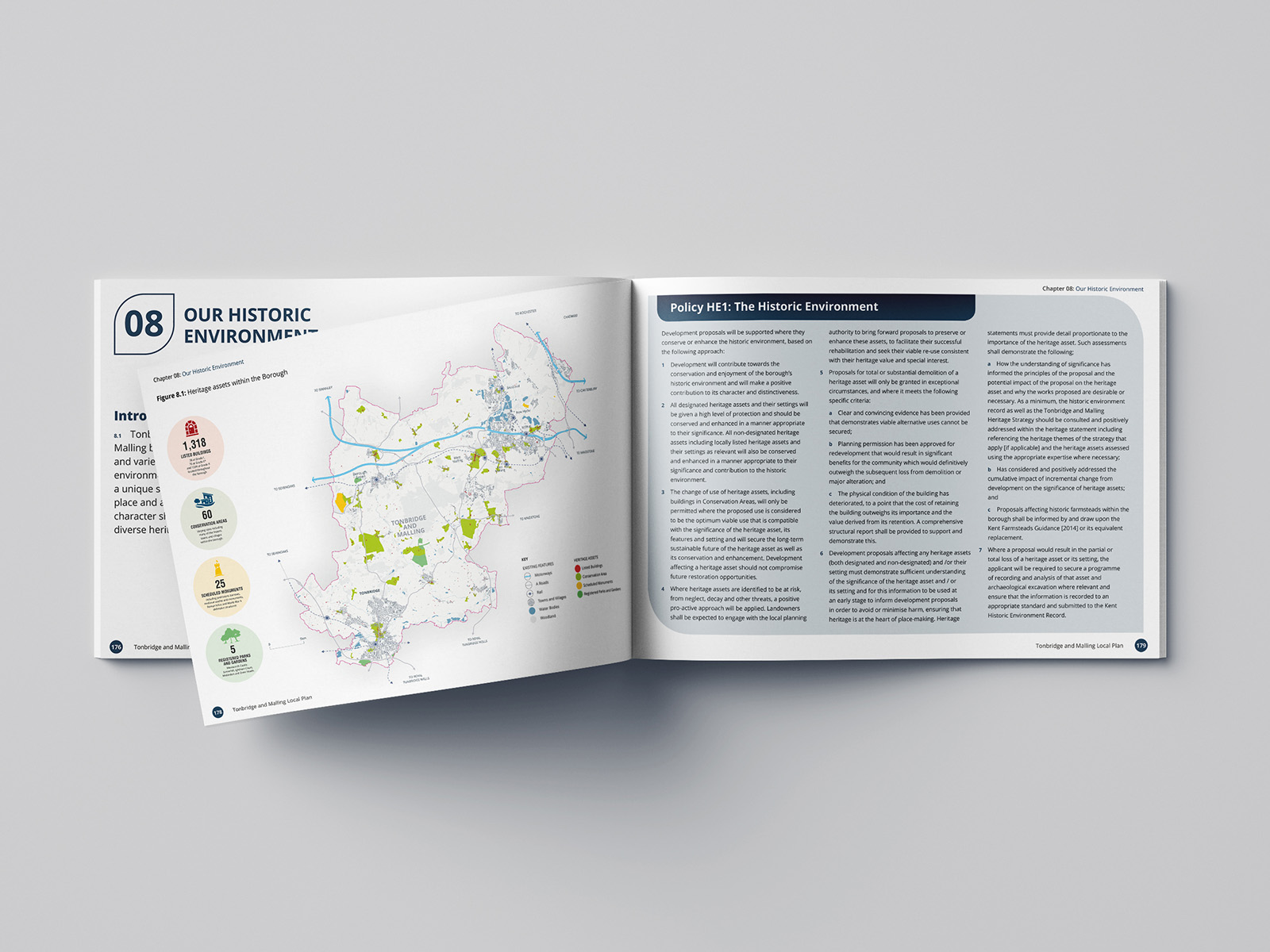
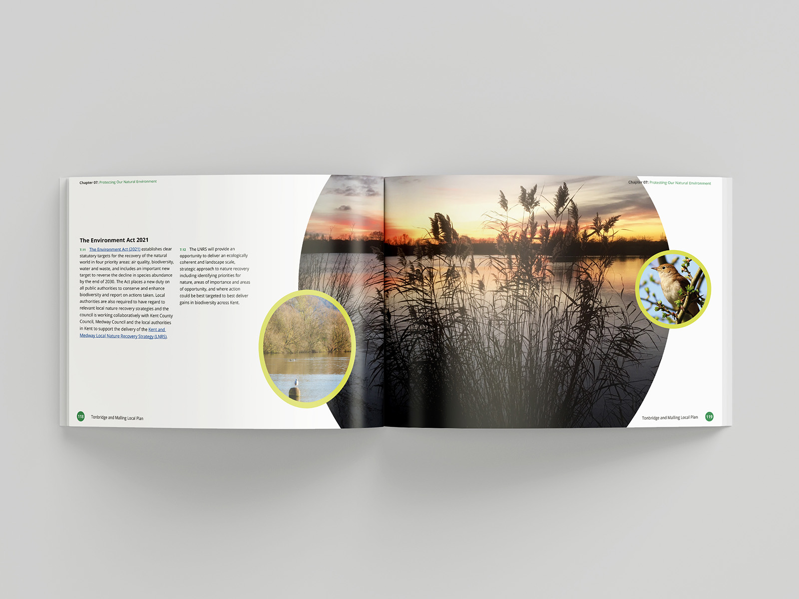
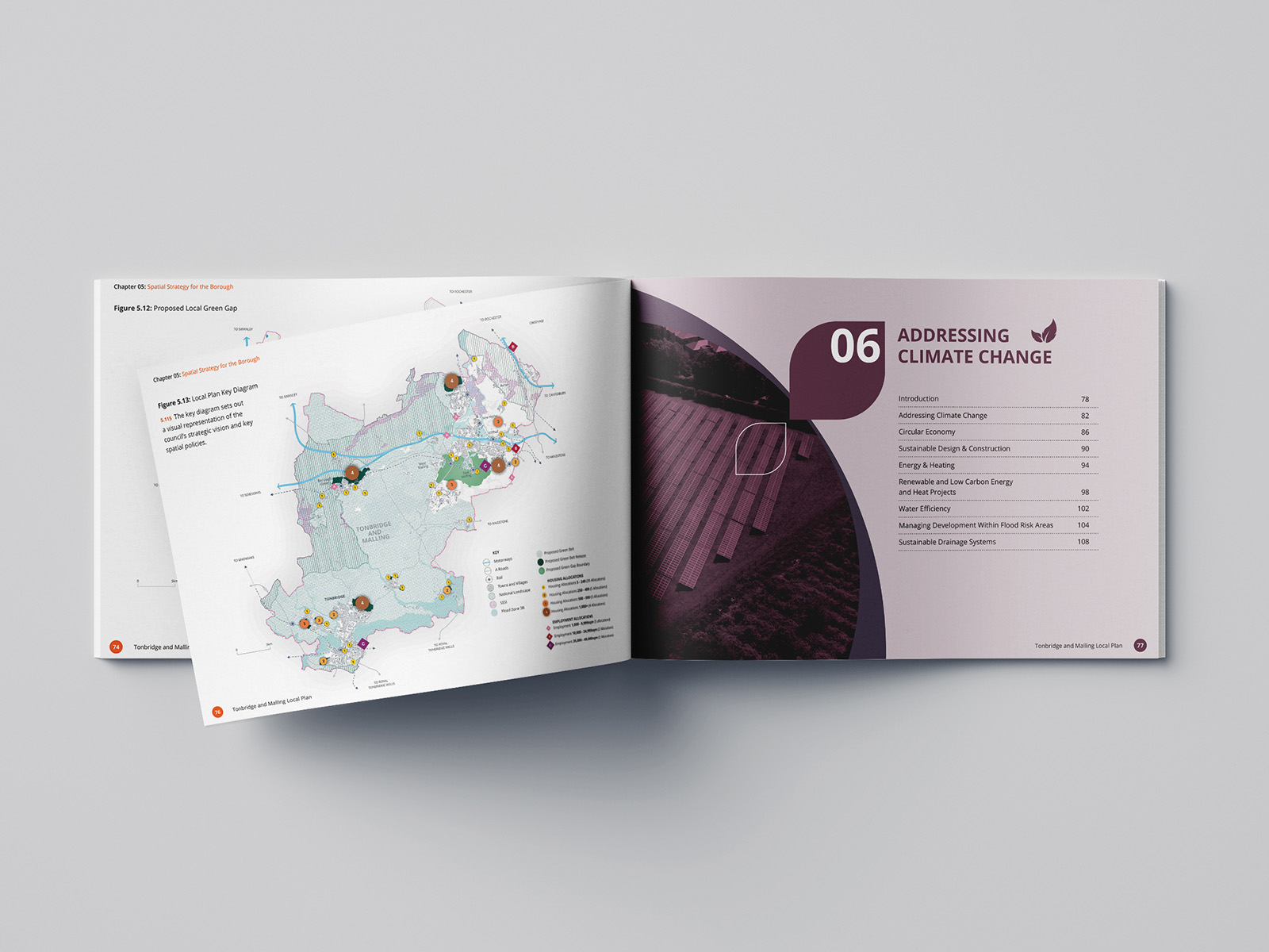
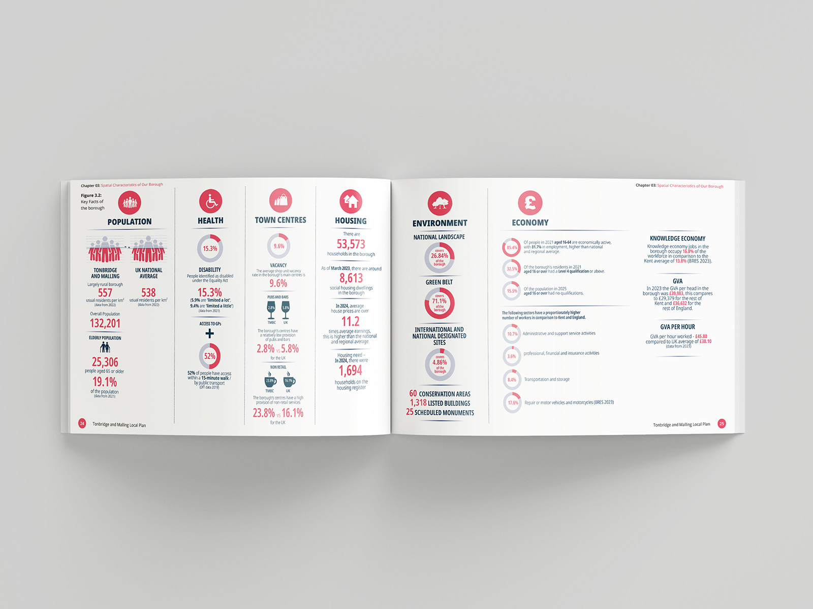
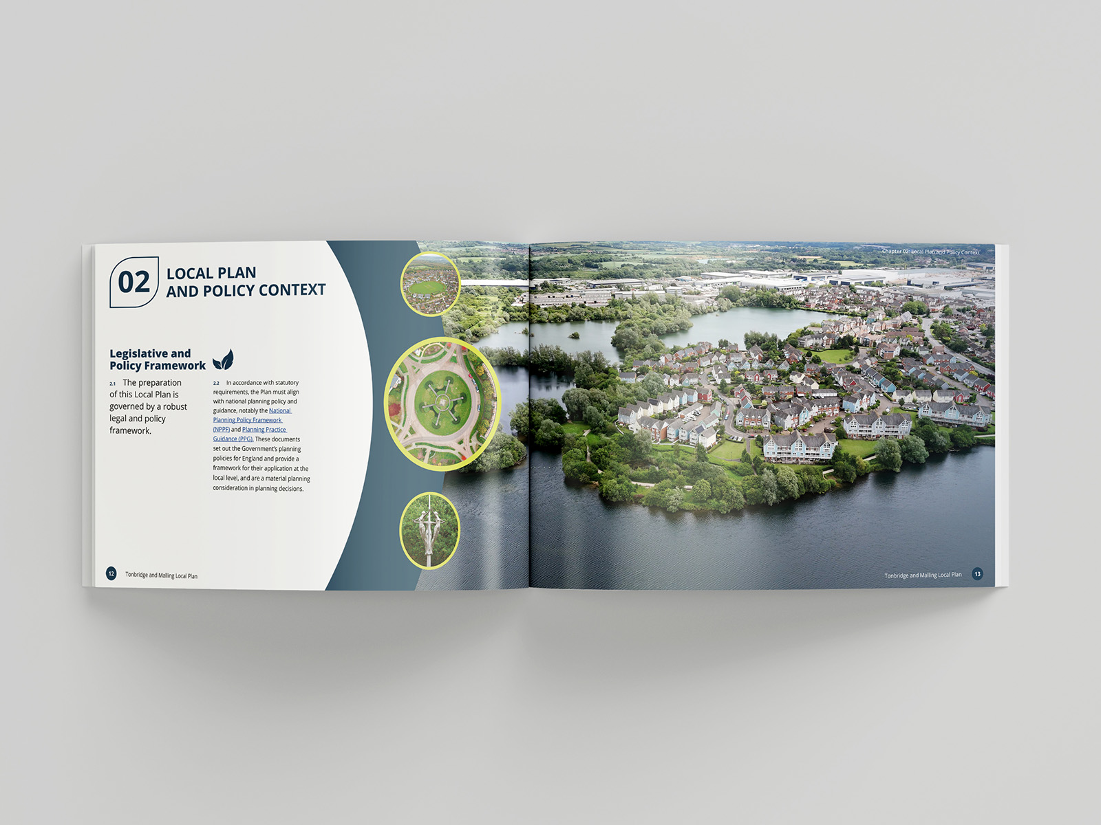
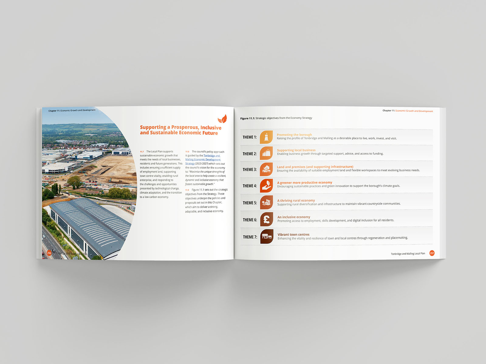
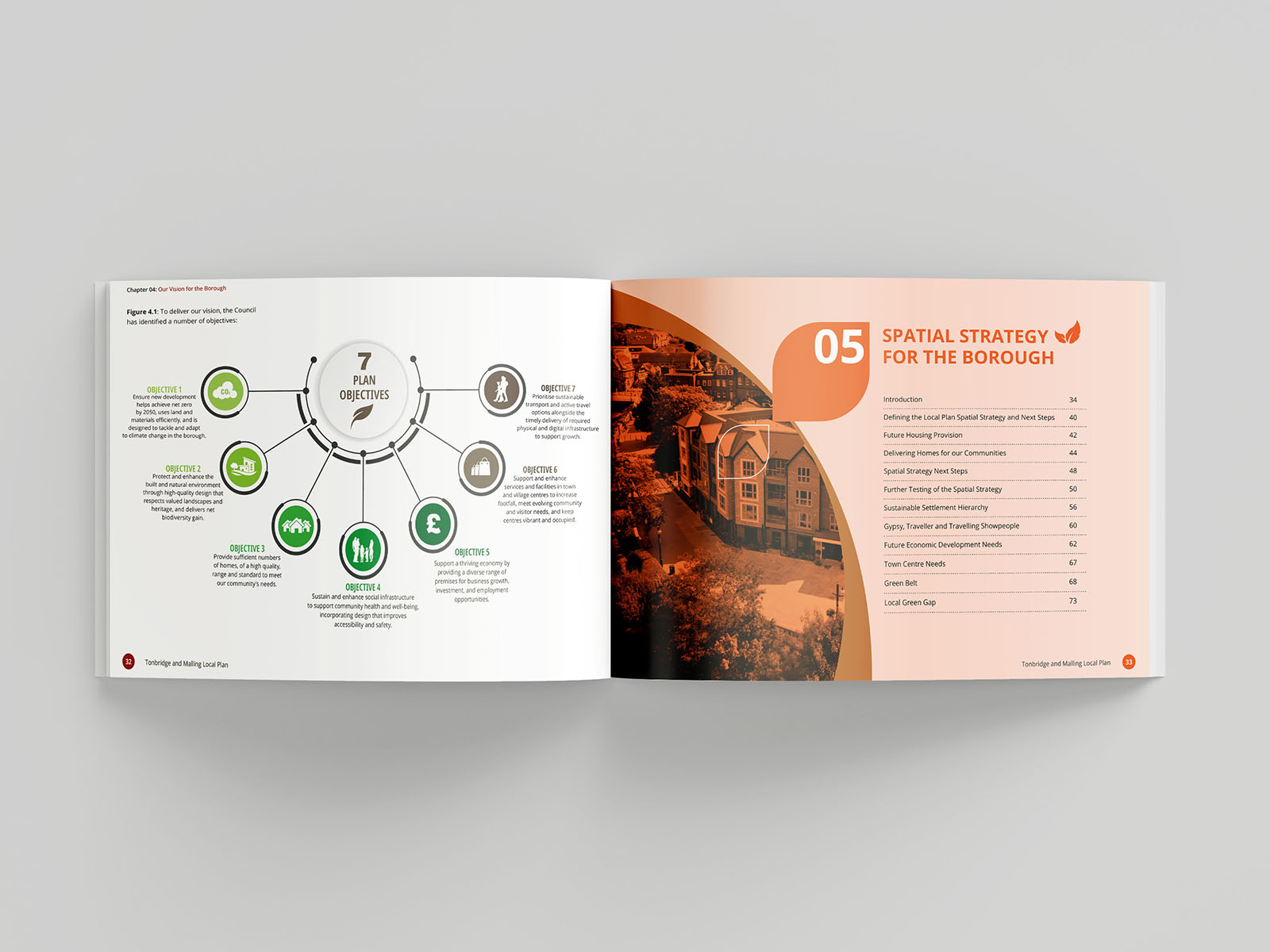
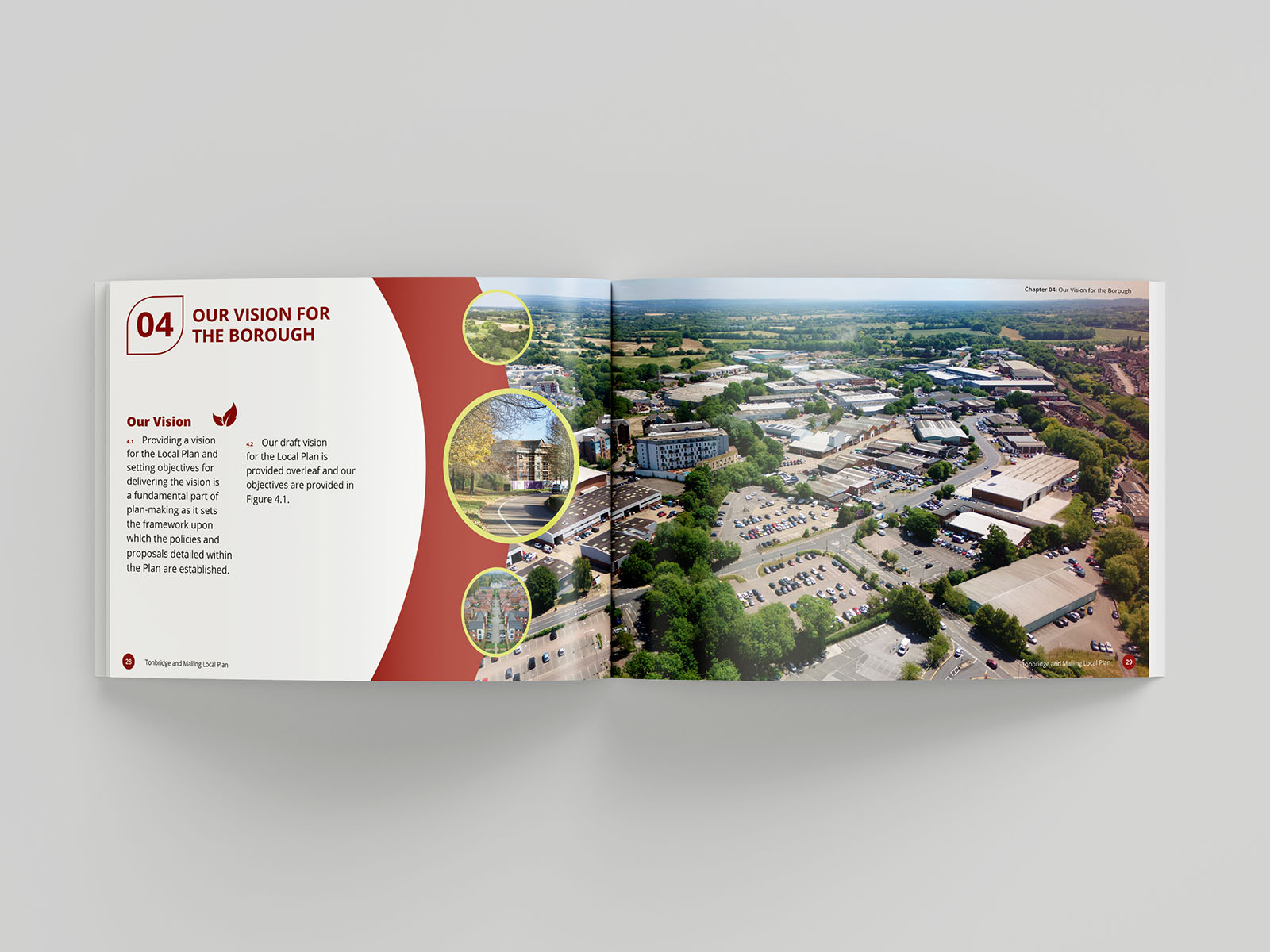
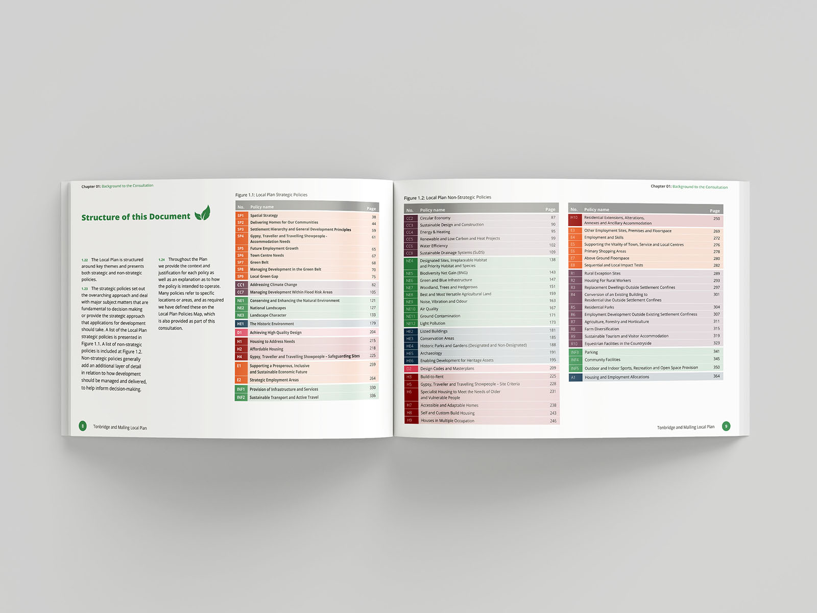
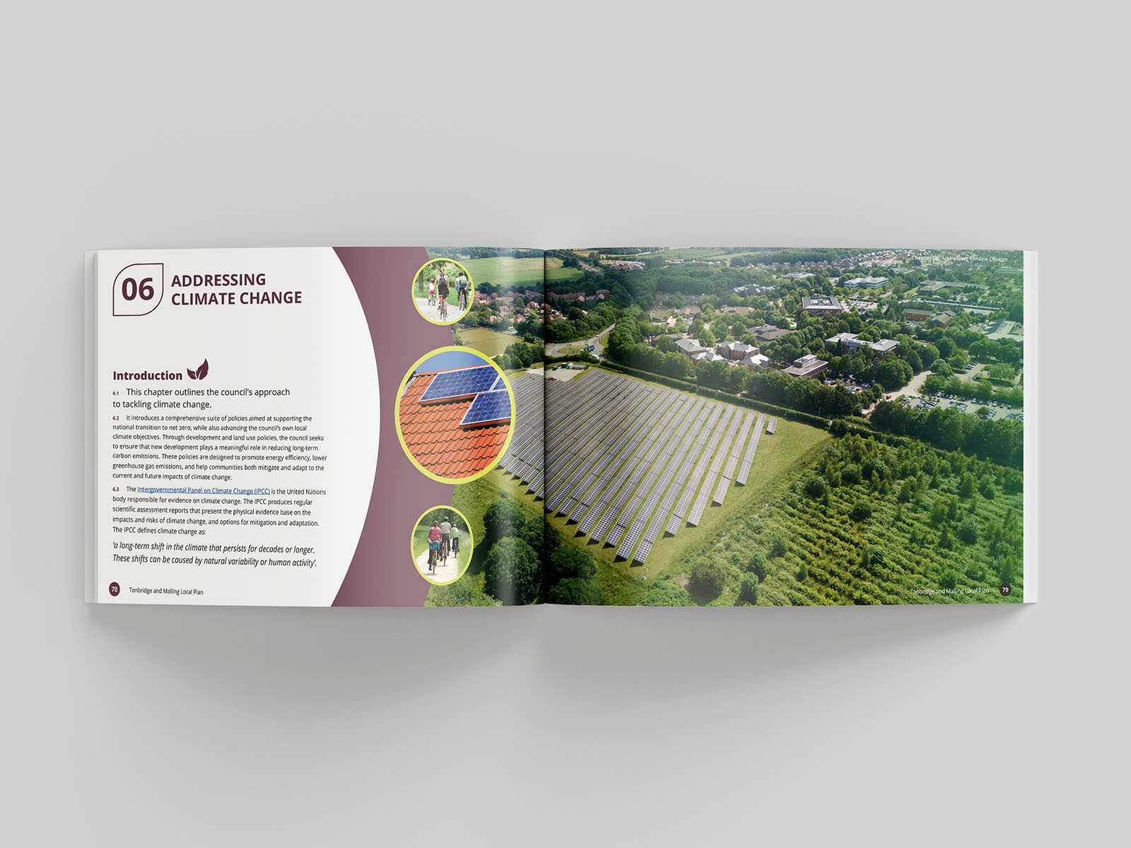
Urban Graphics were commissioned to design and publish the Tonbridge & Malling Local Plan (Regulation 18). Our brief was to produce a clear, accessible and visually engaging document that communicates complex planning information in a reader-friendly way. We worked closely with the Council’s planning policy and communications teams to shape a layout that balances professional clarity with approachability. Each section was designed for legibility, with carefully structured typography, intuitive navigation, and bold use of mapping and infographics to aid understanding.
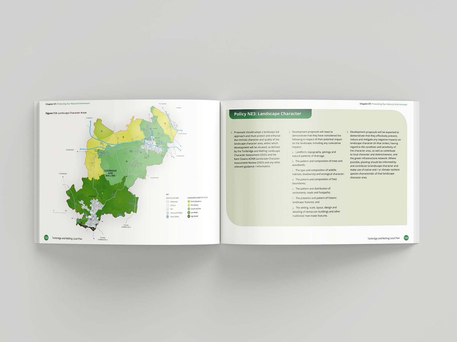
Our in-house mapping team created a suite of bespoke maps, ensuring consistency across all policies and spatial strategies. The result is a highly readable, visually cohesive document that supports the consultation process and strengthens engagement with local communities. The final publication demonstrates how thoughtful design and careful editing can transform technical content into a plan that is both informative and easy to use, a hallmark of our Local Plan design approach.

